
While usually the folks in Vancouver tend to hit the Coquihalla or Hope Princeton Highways when they want to leave the city and seek refuge in the Interior of B.C. there is another road, Highway 1, which follows the Fraser Canyon, that offers up an alternate portal to an equally spectacular experience. While most of the road has been repaired after last year's flood damage, there is still plenty of evidence to show how prone to avalanche the slopes are on either side. At Jackass Mountain for example there is only a single lane bridge in operation that, in itself, is a piece of engineering wonder.

But once you pass Cache Creek where Highways1 and 99 merge and head east, the road changes to Highway 97 and continues all the way up to Dawson Creek where it becomes the Alaska Highway and keeps going all the way to Yukon. Although there is some overlap, generally speaking from Cache Creek to Quesnel and east to Wells Gray Park and the Rocky Mountains is considered the Cariboo, and west of Highway 97 to Tweedsmuir Park and the Coast Mountains the area is considered the Chilcotin.

The Cariboo, of course, is famous for being the epicentre of British Columbia's second gold rush in 1862 (the first being the Fraser Canyon gold rush in 1858) and the reason for the construction of the Cariboo Wagon Road which stretched from Yale to Barkerville and followed part of the original Cariboo Road that started at Lillooet (Mile 0) and went to Williams Lake. At its peak in the 1860's there were over 5,000 people living in Barkerville, but after the rush was over only a few stayed on as permanent settlers. But those that did became farmers and ranchers and mastered the art of building log homes.
First stop for us was a former hunting & fishing lodge located outside of Lac la Hache on Spout Lake in the heart of Cariboo country. Its name Ten-ee-ah in Shuswap means large animal and referred to the guaranteed moose hunting the original hosts were able to offer guests in 1942, but it has now changed to a vacation destination with all the amenities one would expect of a very modern wilderness resort. You could still chop your own firewood but most of the time was spent relaxing with a glass of wine, enjoying the scenery and letting someone else do the cooking.
The cabins were fully equipped with every modern convenience but we preferred to hang out at the main lodge where the bar was, along with some other friendly creatures.


Ten-ee-ah lodge was a nice half way point to Bella Coola, our final destination, and we headed off on a bright sunny morning to see what the Chilcotin had to offer. To get there you drive to Williams Lake and then turn left onto Highway 20 which runs all the way. As soon as you cross the Fraser River on Sheepcreek Bridge, you are in traditional Tsilhqot'in (Chilcotin) territory. As is the case with so many First Nations people, the Tsilhqot'in had a bad run-in with the Europeans and this one became known as the Chilcotin War.

The dispute started in 1864 when a road crew entered Tsilhqot'in territory without permission to construct a road up from Bute Inlet, and it escalated into grievances over unpaid wages, working conditions, and lack of food. More importantly, the Tsilhqot'in believed they were being deliberately infected with smallpox in order to take over their land (a suspicion that was validated following the 1862 epidemic that killed thousands and was later admitted to by agents of the company that they were using infected blankets to spread the disease). The Tsilhqot'in declared themselves at war and vowed to expel all settlers until satisfactory arrangements could be made with the Crown. Britain had only recently, in 1858, created the colony of British Columbia, because of the Fraser Canyon gold rush, and no officials had met with the Tsilhqot'in who still considered themselves a sovereign people.
Initially 14 men working for the company on the road crew were killed but another four settlers were later killed as well. The Governor of the Colony of B.C. then raised three militias to invade the territory and capture the leaders. These forces threatened the Tsilhqot'in with extermination and burned their homes and fishing camps in an attempt to get them to give up their leaders. Another settler leader was also killed before a peace conference was arranged with the promise of immunity for all who attended. A party of 8 Tsilhqot'in leaders arrived at the conference and were promptly ambushed and taken into custody. At a trial held in Quesnel, five were found guilty of murder, even though they argued they were waging war between sovereign nations, and were hanged on October 26, 1864. A 6th leader was later tried and hanged as well.
In 2014 the B.C. government exonerated the 6 leaders for any crime or wrong doing and in 2018 the Federal government also exonerated them and made a formal apology. October 26th is a now a national holiday of remembrance amongst the Tsilhqot'in.

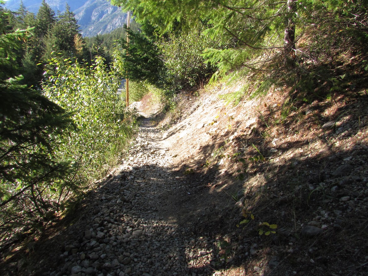
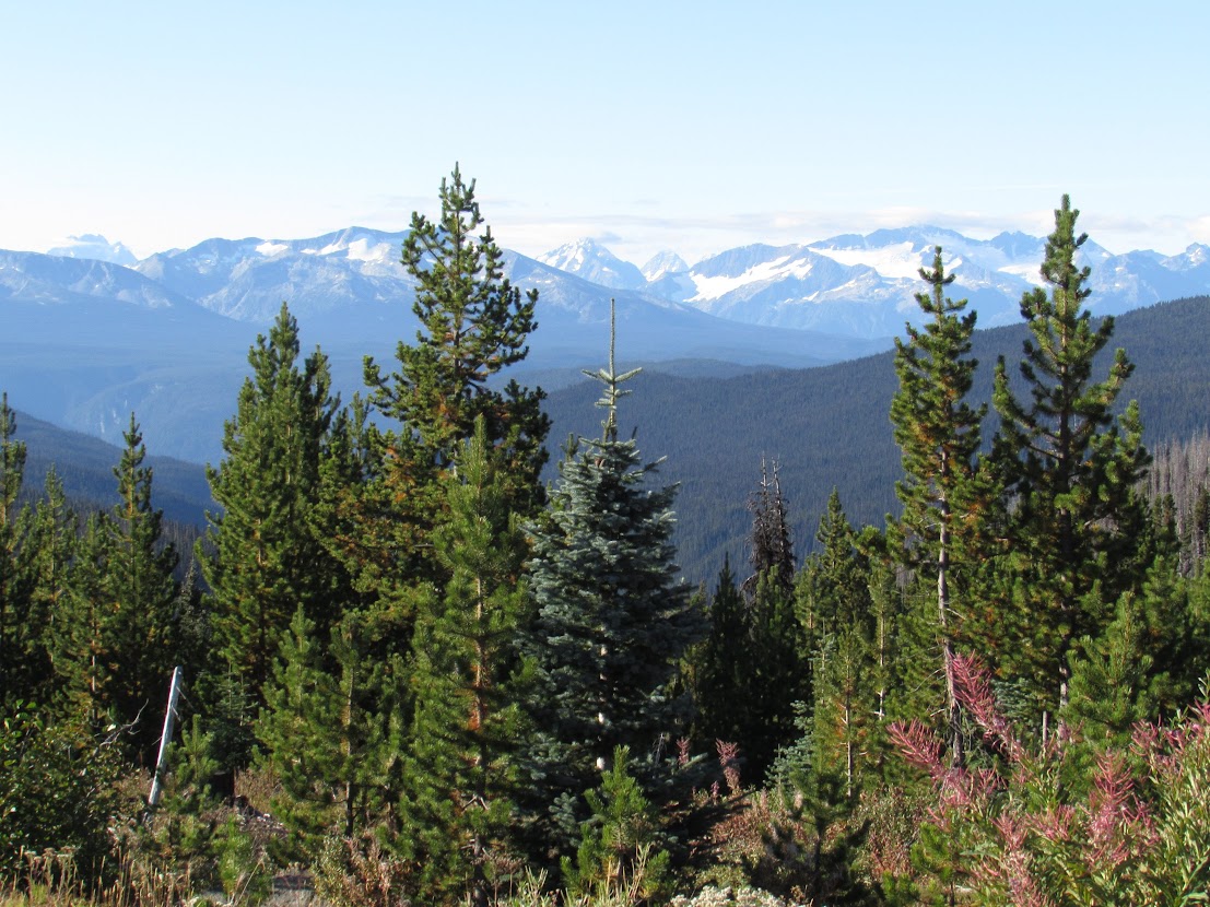
Highway 20 passes over the Chilcotin Plateau, a vast area filled with undulating grasslands, forests of pine and fir, lakes and rivers feeding the Chilcotin River (itself a tributary of the Fraser River) and a magnificent backdrop of snow covered mountain peaks. There were also miles of forest fire devastation that were almost too hard to look at. The 2017 forest fire on the Chilcotin Plateau destroyed more than 500,000 hectares, the largest wildfire ever recorded in B.C. but already new seedlings have taken root and it has forced a new way of looking at forest fire management that now includes traditional First Nations fire management.


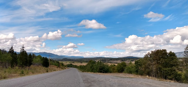
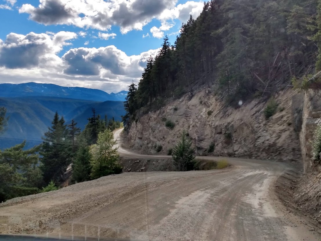
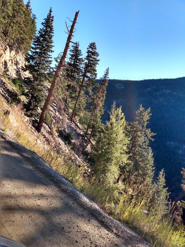
Highway 20 is a mostly wide open vista with only a few communities along the way offering minimal services. Once you get to the last one, Anahim Lake, you come to Heckman Pass, the entrance to Tweedsmuir Park and the start of the infamous "Hill" which takes you from 5,000 feet of elevation to sea level on a narrow,15 km, single lane, winding road with no guardrails, grades of up to 18%, and sheer drop-offs of many hundreds of feet. A white knuckle adventure best taken at a very slow pace with a very light foot on the brakes less your wheels slip out from under you.
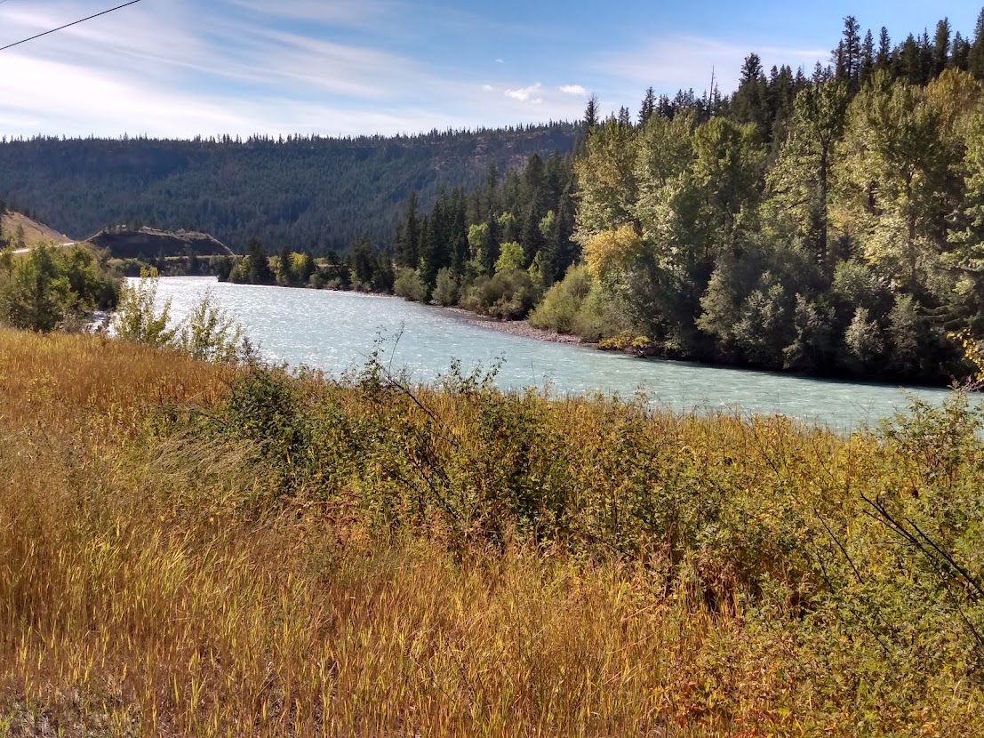
But once you get to the bottom, the incredible beauty of the Bella Coola valley hits you as you drive alongside the glacier fed waters of the Bella Coola River, surrounded on both sides by jagged peaks and magnificent mountain formations (especially Mt. Stupendous) for the last 60 km. into the town of Bella Coola.
Bella Coola has an idealic coastal setting at the mouth of the North Bentinck Arm which is a fjord on the Pacific coastline. Inhabited by the Nuxalt people for millennia the people here were also decimated by the 1862 smallpox epidemic. In 1894 a group of Norwegian Lutheran settlers were given land grants, that included land vacated by the Nuxalt as a result of the epidemic, and they formed the community of Hagensborg. The area has a mixed economy of farming, fishing, logging and tourism. One of the town's principal attractions are the Clayton Falls.
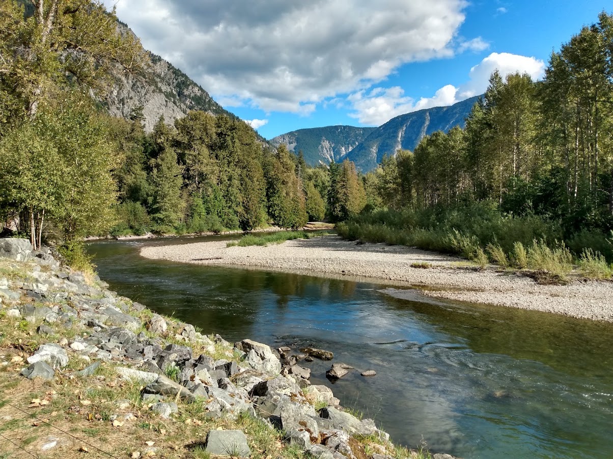
But the reason we have come here is because of the grizzly bears, who arrive at the same time as the spawning salmon every year, to fatten up before hibernation. The Atnarko River, which is a tributary of the Bella Coola River, provides quiet side channels for the salmon to concentrate which in turn makes for perfect fishing conditions for the grizzlies. There are two principal public viewing platforms to safely watch the bears as they go about their business, Belarko and Fisheries Pool and the best time to see them is at 7:00 a.m. and after 5:00 p.m. We made sure we were there on time every day and were rewarded with the sight of large males on their own and mothers with their cubs all happily feasting on the fish.

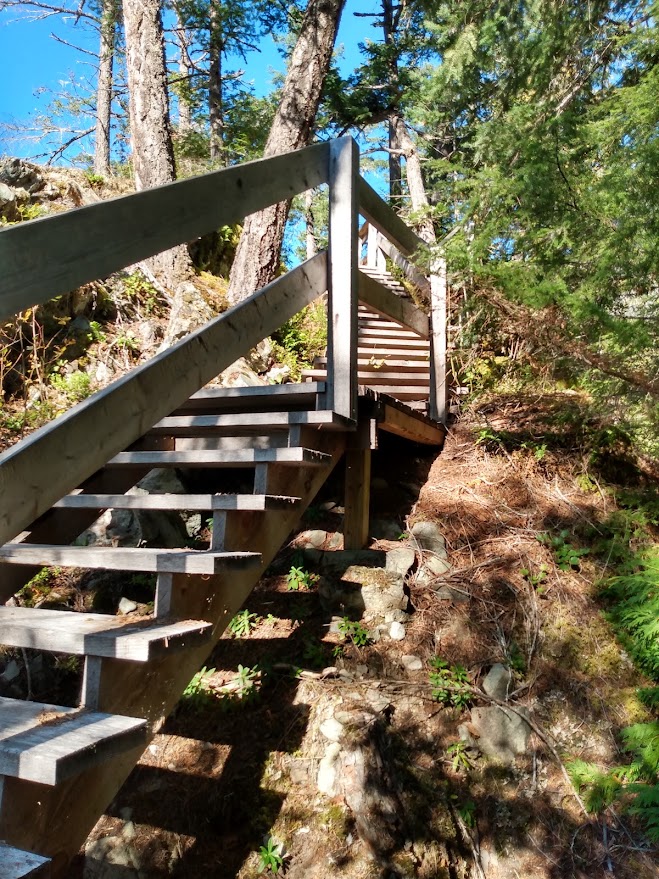
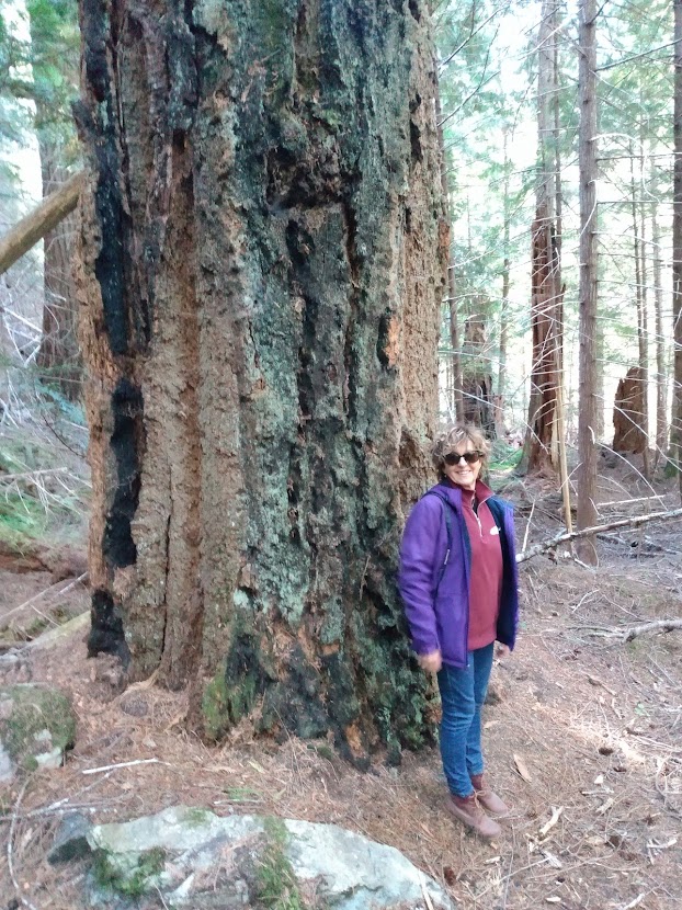
Bella Coola has other world famous attractions like "Big Rock" and a wide variety of hiking trails to explore. One of them, Burnt Bridge Loop connects with the Mackenzie Heritage Trail which Alexander Mackenzie used in 1793 with Nuxalk-Carrier guides to find his way to the coast and became the first European to cross the continent north of Mexico. The trail is a 420 km. overland route from Bella Coola to Quesnel, one of the many "grease trails" to the Interior. The trail allowed for the Nuxalk to trade eulachon grease with the Carrier and provided a means for both people of connecting with each other. After going down the trail Mackenzie was taken down the Bella Coola River to the ocean and out to Dean Channel where he left an inscription on a rock marking the date.
Our section of the hike wasn't as epic a journey but it did provide for some beautiful scenery and more views of the Bella Coola valley and Stupendous Mountain.
When it was time to leave, going up "The Hill" wasn't as bad as coming down but it still made for some edgy photo taking and we were glad to reach the summit and admire the view. I should mention "The Hill" or "Freedom Road" as the locals call it has quite a history. With the government refusing to build a connecting road from Anahim Lake to Bella Coola, because the engineers thought it couldn't be done, a band of volunteers took it upon themselves to build the road. With bulldozers starting from both the top and the bottom, they managed to connect with each other in less than a year and in 1953 the road opened.
But while we were out of Bella Coola we weren't out of bear country by any means and we had the pleasure of meeting up with a mother black bear and her two cubs who were only too happy to pose for the family photo before saying goodbye.
Once again we were captivated by the stunning scenery of the Chilcotin Plateau as we made our way back to camp Ten-ee-ah. The ranching culture was on full display everywhere we looked with massive fenced fields of hay stretching to the horizon and cattle happily grazing in the pastures or walking down the road.
This is also the area where the famous wild horses of the Britanny Triangle (the area between the Chilko and Taseko Rivers and Nemaiah Valley) live and are the last truly wild mustang horses in Canada. The existence of these horses was a key component of a recent land claim the Tsilhqot'in won for partial title of their traditional territory. Because of the horses the Tsilhqot'in were able to prove they were accomplished horsemen long before Europeans arrived in Western Canada.
The forerunners of today's horses evolved in North America and crossed back and forth over the Beringia land bridge to Asia but disappeared from the continent 8,000-10,000 years ago before the end of the last ice age. However, the horse was reintroduced to the Americas by Spanish explorers in the 1500's. Originally thought to be descendents of the Spanish horses that somehow made their way into the Chilcotin region, the DNA of these wild horses was tested and found to contain little or no Spanish ancestry. In fact the DNA matched the heavy horse Canadian breed and even more intriguing was the discovery these horses had the DNA of Yakut horses, an ancient horse of Russian heritage. How these bloodlines got mixed in is a true mystery since the Russians only brought a small number of horses across the Pacific to their fur trading posts. Either that or perhaps a group of horses from the ice age managed to survive the extinction.
The Tsilhqot'in have claimed they have a horse culture that goes back hundreds of years or more and both David Thompson in 1793 and Simon Fraser in 1808 bore witness to the fact the people were accomplished horsemen and had settled the land before it became a British colony. As a result the Tsilhqot'in won their claim and have created the Eagle Lake Henry Cayuse wild horse reserve to continue the research on these unique horses of which there are up to 1,000 remaining.
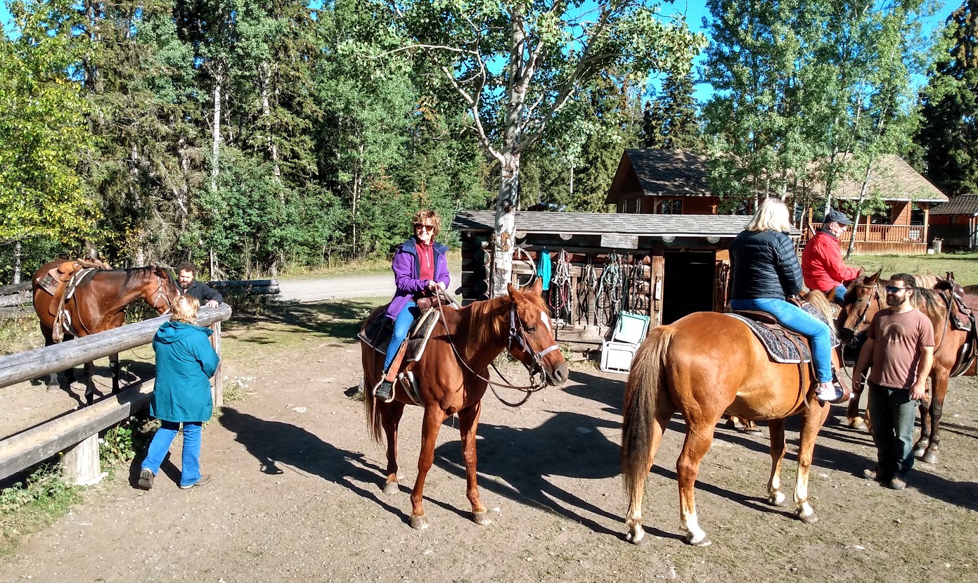
Anxious to do some horseback riding of our own we set off the next day to do a little trail riding courtesy of the slow but steady horses at Ten-ee-ah which have a free rein around the property when they aren't entertaining guests. Up into the birch and pine forest we went on our mounts Flash and Buddy for a ride that provided a lookout view of Spout Lake on a beautiful, sunny day.
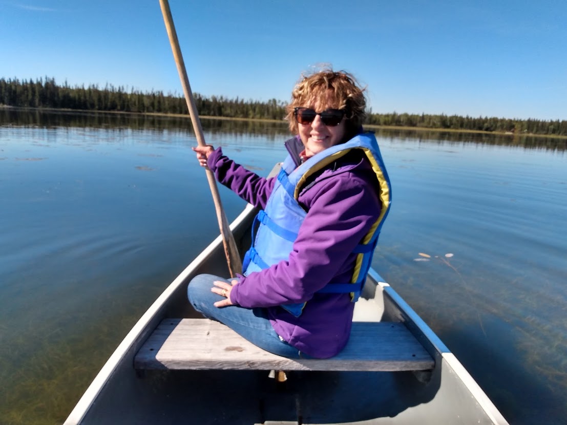
We also took some time to fire up a canoe to go out on the lake and get up close and personal with the resident beavers.
Sadly all good things have to come to an end and we said goodbye to Ten-ee-ah and our Cariboo-Chilcotin-Coast adventure. Yet another overlooked jewel in our own back yard that opened our eyes to many new things. The road less travelled is often the most interesting.


No comments:
Post a Comment